
Professional fireworks software
Plan the site and the rack layout together.
Place the show in its real surroundings and carry its positions, products and equipment into the working plan.
Request beta accessOmniPyro is in beta. Access is approved before you start.
Start with the real location
The site planner brings products, firing positions and the surrounding area into one plan. Use the map or satellite view to place positions and draw audience areas, barriers and other markings that explain how the site is intended to work.
Audience orientation helps a designer relate left and right to the intended viewing direction. The related show can display site-plan markings in its map or satellite view, keeping the visual design connected to the planned layout rather than an isolated schematic.
Carry the plan into racks and preparation
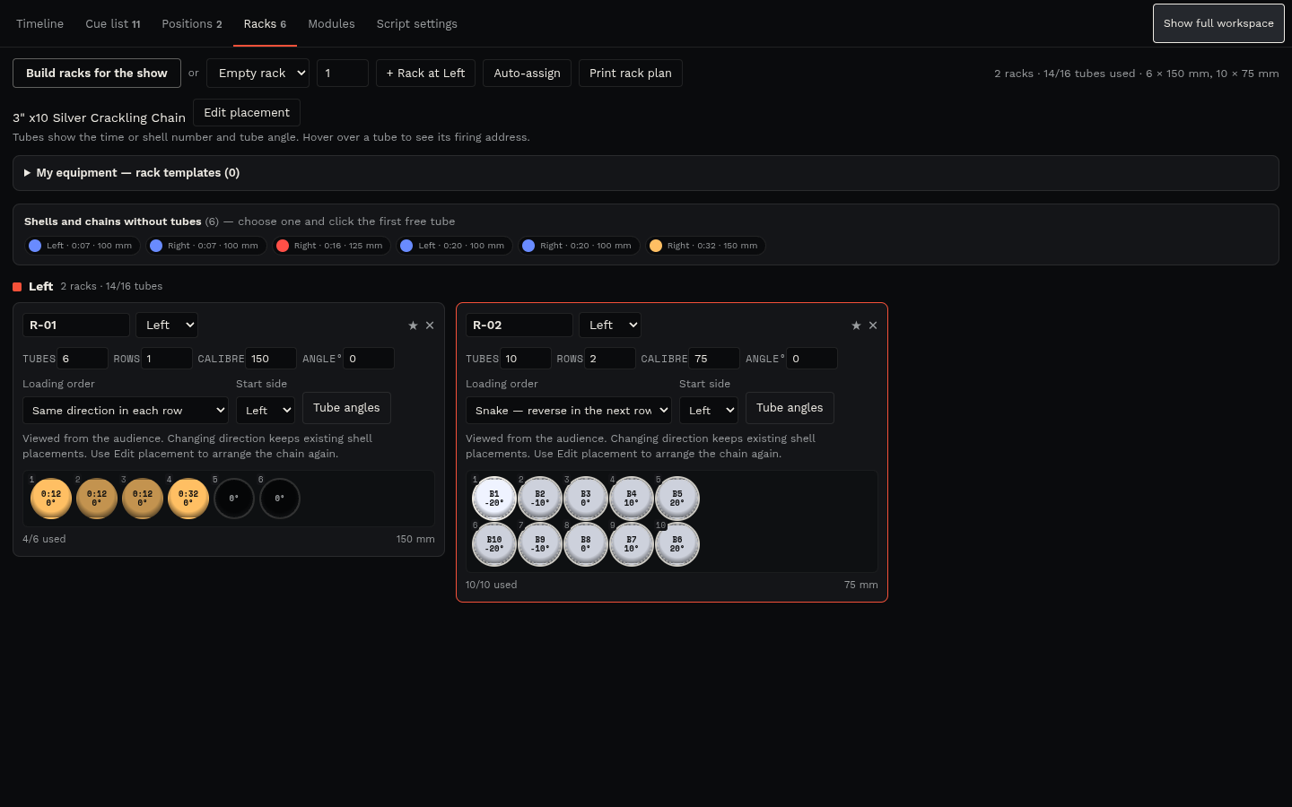
Rack planning relates products to positions and tubes. Row angles, chain order and the physical route between tubes matter when translating a design into equipment, so the plan needs to reflect the actual arrangement used by the operator.
Use the resulting planning information alongside packing lists, module assignments and cue labels. Map measurements, safety-zone visualisation and road checks are planning aids; they do not certify a site or replace local requirements, equipment limitations or an operator's checks.
How the workflow fits together
- Create the site plan and mark firing positions and the audience area.
- Select the products for the plan and arrange the relevant racks and tubes.
- Review the show in 3D and check the working documents against the intended physical layout.
Questions about this workflow
Can the show use a satellite view?
OmniPyro supports map and satellite views so the show can be reviewed in relation to the real location and available site-plan markings.
Does a site plan approve the firing location?
No. The site planner organises and visualises the operator's plan. Site suitability and required approvals remain separate from the software preview.